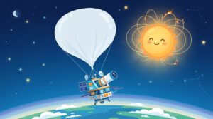
ISRO Launches NVS-03 Navigation Satellite
India's space agency, ISRO, has launched the NVS-03 navigation satellite into space using its powerful GSLV rocket to boost the country's NavIC system.
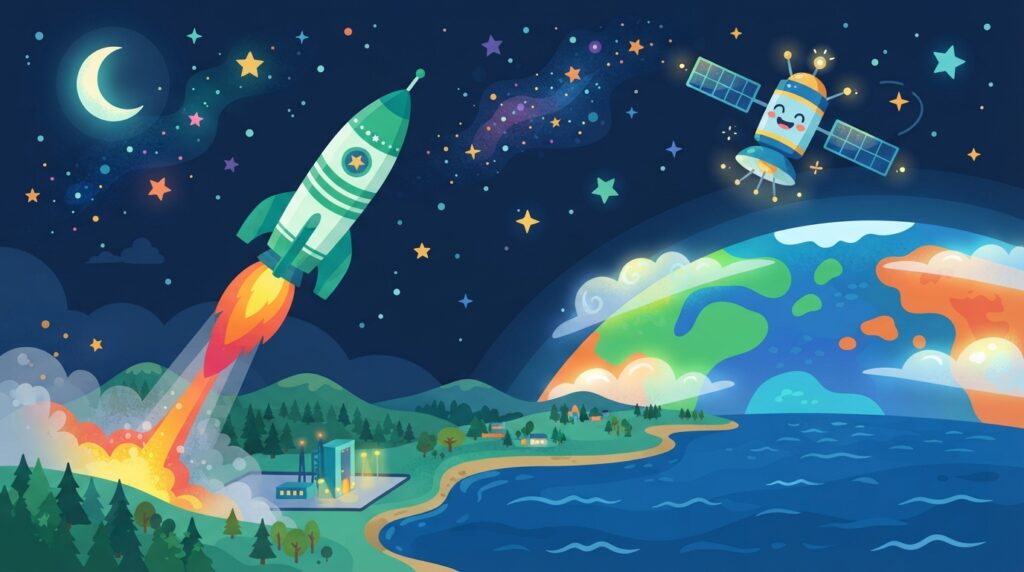
Late at night on 30 October 2026, the night sky over Sriharikota in Andhra Pradesh lit up with bright orange flames. Indian scientists celebrated the successful ISRO NVS-03 launch as a giant rocket blasted off from the Satish Dhawan Space Centre. The exciting event took place precisely at 11:51 PM IST, sending cheers across the space centre control room.
The mission used a Geosynchronous Satellite Launch Vehicle on a flight named GSLV-F18. This powerful rocket carried a brand-new navigation spacecraft named NVS-03 high above our planet. The mission helps build India’s very own space navigation network, guiding travellers and maps across the country.
What happened?
The mighty GSLV-F18 rocket stands 50 metres tall and weighs an astonishing 420 tonnes. It roared into the sky from the Second Launch Pad at the Satish Dhawan Space Centre. This historic lift-off marked the 20th flight of the dependable GSLV rocket family.
Inside the rocket sat the NVS-03 spacecraft, which weighs around 2,250 kilograms. The rocket did its job perfectly, dropping the spacecraft into an initial oval-shaped path called a Geosynchronous Transfer Orbit. This starting path measured 170.3 kilometres at its nearest point to Earth and 38,080 kilometres at its farthest point.
The journey did not stop there. On 31 October 2026, at 16:48 hrs IST, scientists fired the satellite’s Liquid Apogee Motor, known as the LAM engine, for 2,174.8 seconds. This long engine burn helped push the spacecraft into a higher path. Over the next few days, more engine burns will guide NVS-03 into its permanent home at 111.75 degrees East longitude.
NVS-03 is the third spacecraft in ISRO’s second-generation navigation series. It is built to work high above Earth for a planned lifespan of 12 years. Inside the satellite is a special home-grown Rubidium atomic clock created by the Space Applications Centre in Ahmedabad, along with other procured atomic clocks. The satellite beams signals across three distinct radio frequency bands called L1, L5, and S. These signals cover all of India and stretch about 1,500 kilometres beyond the country’s borders.
Why does it matter to you?
Have you ever watched your parents check an online map on a smartphone to find the fastest route to school or a holiday destination? That everyday magic relies on navigation satellites circling high above the clouds. NVS-03 is designed to sustain and upgrade India’s very own positioning network, known as NavIC, which stands for Navigation with Indian Constellation.
Just like the global GPS system you might have heard about, NavIC sends time and location signals straight to receivers on the ground. Having our own satellites means India can track locations, help aeroplanes navigate safely, guide fishing boats at sea, and support rescue teams during natural emergencies without relying on other nations.
Learning that the atomic clock inside the satellite was created by Indian scientists in Ahmedabad shows that great inventions happen right here at home. Perhaps one day, you could help build India’s next fleet of spacecraft!
Words to know
- Orbit: an invisible curved path that an object in space follows around a planet or star.
- Atomic clock: an ultra-precise clock that measures time using the tiny vibrations of atoms.
- LAM engine: a special rocket motor on a satellite used to push it into its final parking spot in space.
- NavIC: India’s home-grown satellite system that tells you where you are and what time it is.
Did you know?
The NVS-03 satellite carries an atomic clock so accurate that it loses or gains only a tiny fraction of a second over millions of years! Navigation satellites must know the exact time to calculate your location on a map down to a few metres.
Think about it
Why do you think it is important for a country like India to have its own satellite navigation system instead of only using systems from other countries? How would our daily lives change if map apps suddenly stopped working?
Quick quiz
Which rocket carried the NVS-03 satellite into space on 30 October 2026?
- GSLV-F18
- PSLV-C50
- Chandrayaan-3
See the answer
GSLV-F18
Sources
This story was prepared by the Kids Gazette news desk with the help of AI research and writing tools, using the sources listed above.